Mapping the Enslaved
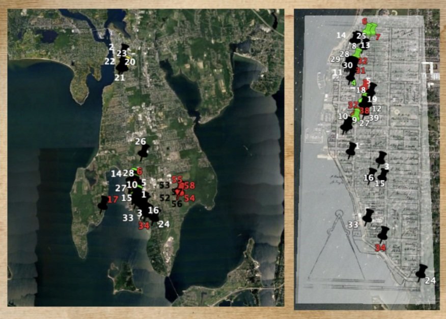
Using the research compiled to create The Timeline of Enslavement and The Bristol County Enslaved History Database, Eleanor Langham is currently working to place those who were enslaved on an interactive map.
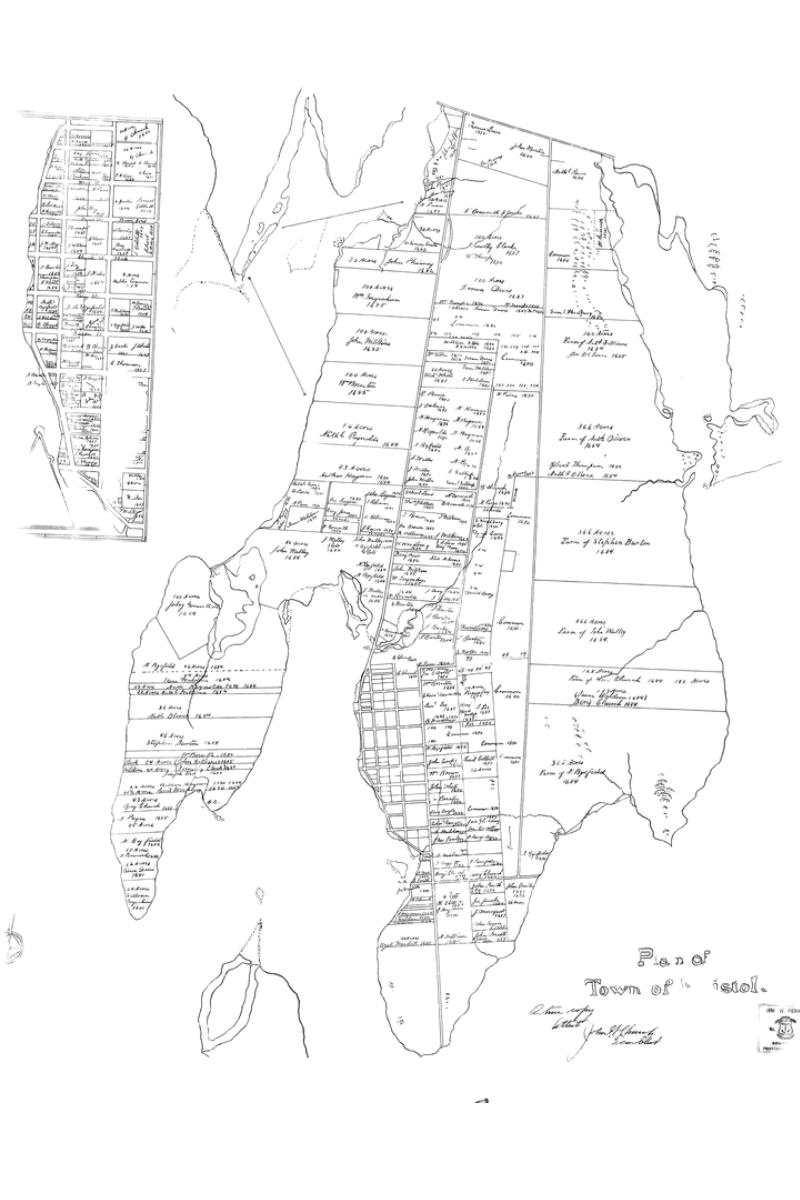
For this project, we decided to try using Google Earth as our BETA platform. A modern map is overlaid with the historic Woodbury Map. Created by Samuel Woodbury in 1690, this map shows the property boundaries of Bristol’s first colonial settlers.
It served as a fantastic starting point for this project, and guided the placement of most of the people enslaved from 1680-1730. We already learned a great deal from the 58 individuals mapped so far.
Placing the individuals who were enslaved into the town landscape leads us to a better understanding of how enslavement operated in Northern towns while also revealing those who have largely been overshadowed, ignored, or completely left out in documented history by literally restoring their place in the town’s urban fabric.
The clearest thing that we have seen is that Bristol was an area of urban enslavement. Unlike Western Rhode Island where we see more agricultural plantations and communal dwelling situations, the bulk of people who were enslaved in Bristol worked in the town center or returned to it at night.
As we continue mapping the bulk of the timeline in the upcoming years, it will be interesting to see what trends we may see through time.
We are now exploring ways to make the map available as an online tool, across multiple platforms. Please, stay tuned.
Eleanor Langham is currently an elementary school teacher in East Providence, Rhode Island. She first came to Rhode Island from Western Connecticut to get her undergraduate degree in history and anthropology from the University of Rhode Island. Her master’s degree is in museum studies from Johns Hopkins University. In the past she has worked at Coggeshall Farm Museum, the Old Slater Mill Association, the Mashantucket Pequot Museum & Research Center, and Mystic Seaport.


